Product

Irrigation will no longer be based on intuition but on accurate daily reports!

Our product

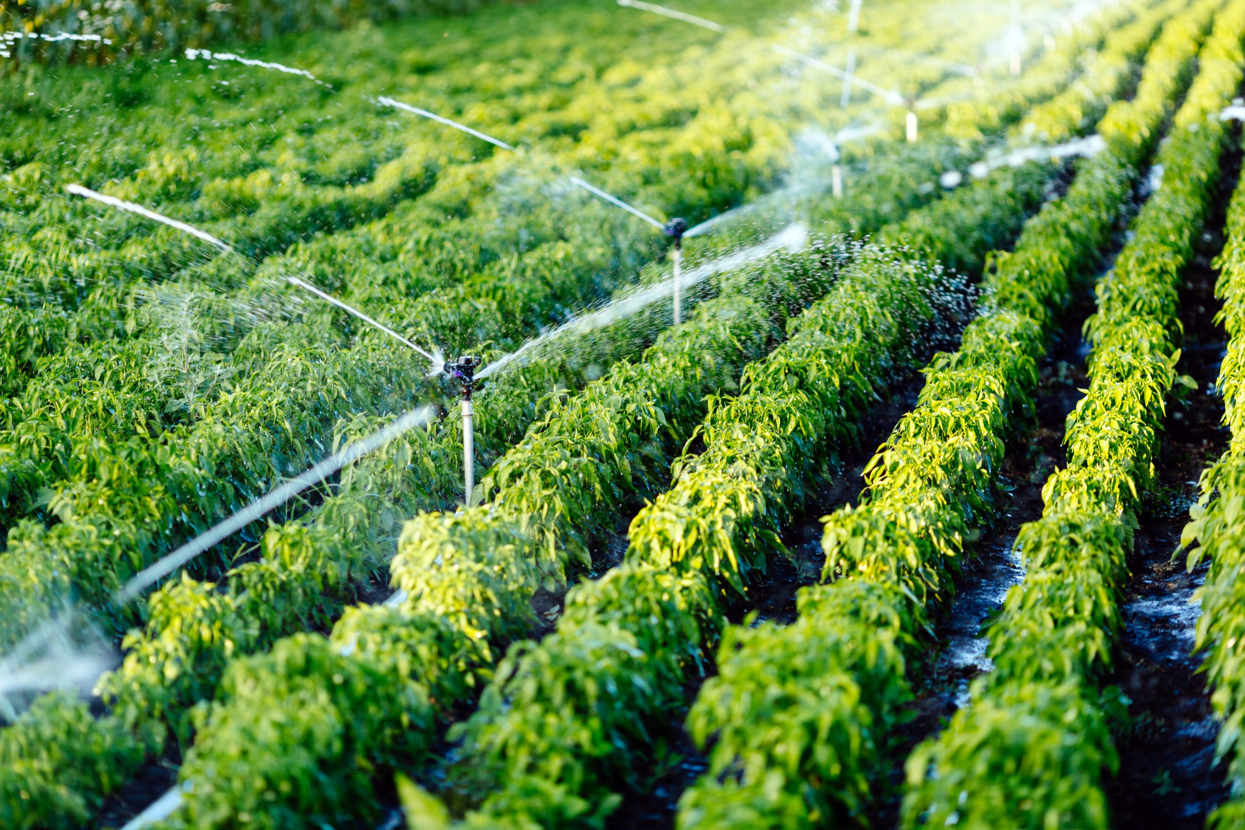
IrriWatch offers data subscriptions based on satellite remote sensing technology. The product that users get is a package that contains field-level parameters, pixel-level maps, and seasonal graphs. This wide set of data supports the grower in their day-to-day operations, but it makes it also possible to monitor fields daily without having to go into the field.

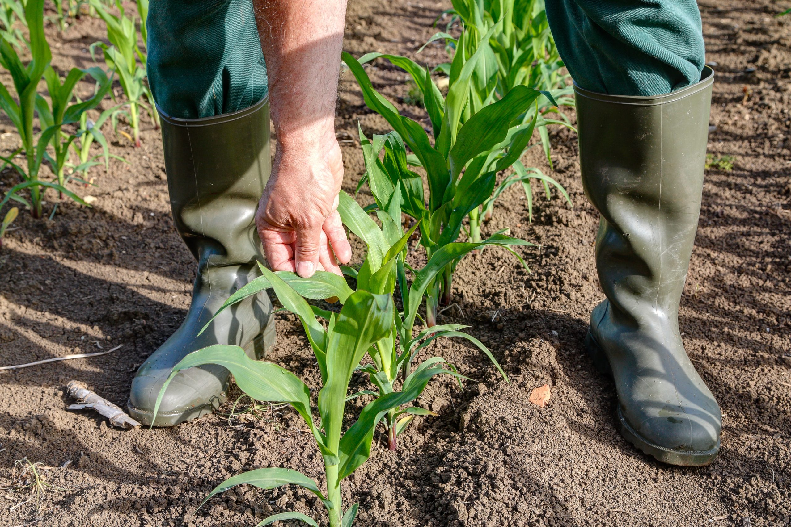
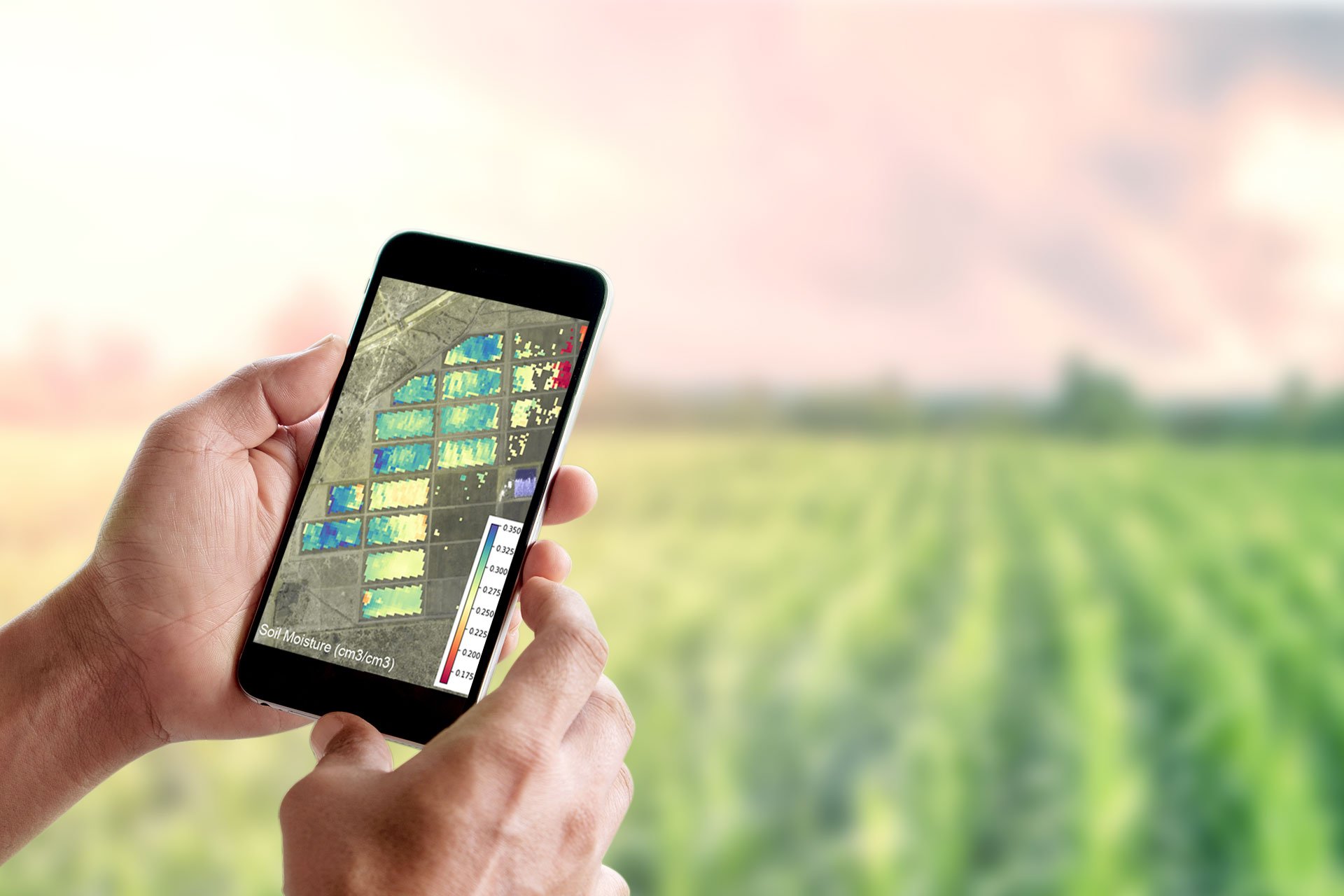
The field maps consist of pixels of 10 x 10 meters. Variety in the field is easily detectable due to these high-resolution maps and therefore, the grower can make the necessary adjustments in their management of the field.

Our data is categorized into four groups with different focuses: irrigation, crop production, soil health, and climate. Irrigation operations are taken care of by our 8-day irrigation planner. Dry matter production pixel maps show the growth across a field. Soil temperature maps provide useful indications to the grower, and leaf nitrogen and net carbon in the soil can be monitored during the season.

Web application

The service includes also a web application for your tablet or laptop for additional diagnostic analysis. We provide a spatial viewer for commercial users who manage farms in different parts of a given country (or in different countries). This viewer is a monitor of the daily irrigation processes of all fields. Whether you call this a “monitor” or “control room” is your decision. We offer you the technology to oversee all fields you are responsible for. Areas of particular interest can be seamlessly zoomed in and out. This can be especially valuable in irrigation water supply systems that lack adequate and reliable flow measurement capability. Water supply agencies can monitor the equitability of water distribution and water productivity using unbiased information from IrriWatch.

Mobile application

Advice with a certain minimum and maximum amount of irrigation water is provided via the IrriWatch App which is freely downloadable from the PlayStore and the AppStore. Fields requiring water will be highlighted on a map. In the case, irrigation is not required, the remaining period until the next irrigation is provided. For orders with less than 25 fields, each field will have a personalized Irrigation Bulletin. The priority of the fields to be irrigated will be ranked every day so that irrigation teams in the field better know where to start their job after checking the App at the breakfast table.

API

The service also provides the output data via an API. This way creates the opportunity for customers to perform thorough analyses or integrate the IrriWatch data into another platform or service. The API service includes the possibility to extract results, but also to push local meteo data to IrriWatch so that all your measurements are aligned.

Packages

An IrriWatch data subscription can be ordered by selecting one of the following packages. Contact us to get a full list of all output parameters per package.

Premium
Dryland
Climate Smart TBA / Soon available

Advantages

  • Conserve scarce and valuable irrigation water (10 to 40%)
  • Save costs on electricity or diesel (10 to 40%).
  • Reduce investment in-field sensors and refrain from their maintenance challenges.
  • Increase production (and thus gross return) due to more uniform supply of water.
  • Prioritize irrigation applications among different fields.
  • Ability to induce controlled water stress for specific crop quality requirements.
  • Compliance of irrigation water withdrawals.
  • Monitoring of implementation of water policy plans.

How does it work

New users have to create a company account on the portal. The account holder of the company can add colleague users. Every unique user receives an own protected password for login on the Portal and App. Any registered user can sign up in fields and blocks of 0.5 ha or larger. Without own fields being assigned, a user sees an empty portal. All users registered under a given company have access to the information of all fields. If a company wishes a certain user to see only the fields he/she is responsible for, then sub-companies need to be created from the start. Users should send an existing shape file containing the digital boundaries to support@irriwatch.com. The shape file should be zipped (.zip or .rar). The IrriWatch HelpDesk will help you will check and edit the shape files where needed. The data subscription goes by different orders. Orders can be edited during the registration process, but once activated, they will be executed. The type of crop can be modified during the execution for allowing shifts of Winter and Summer crops.

Every polygon (field or block) should contain 4 attributes: a unique administrative code that will be used in the presentation of the daily irrigation schedule, the type of crop, type of soil and type of irrigation system. The header of every column in the shape file should contain “name”, “crop”, “soil” and “irrigation” (all in small letters). This information is case sensitive. In case the input data is not provided by the client, IrriWatch will automatically consider default data based on publicly available data of soil and crop types. This is always less accurate, so the user is encouraged to prepare the input data in advance before the registration. The minimum area to be signed up for every order is 25 ha. Supporting movies explaining the registration process on the data portal can be found on the IrriWatch YouTube channel.

Specification of input data

In case the name of your field is not provided (or we detect non-uniqueness in the existing coding system), we generate a new numeric code. For “crop” we have a standard list of 120 crops that you need to use. A numerical code has to be specified in the shape file; not the name of the crop. If your crop is not in the list, we advise you to pick one that is similar.  A crop has several varieties with different drought resistance levels that affect the irrigation scheduling. The drought sensitivity is specified by means of 5 classes, ranging from 1 being “very drought resistant” to 5 being “very drought sensitive”. There are 12 soil types with a similar type of coding system. The same applies to the 9 irrigation types that we differentiate. Hence, the shape file should contain 4 attributes, and all are specified by means of a code.